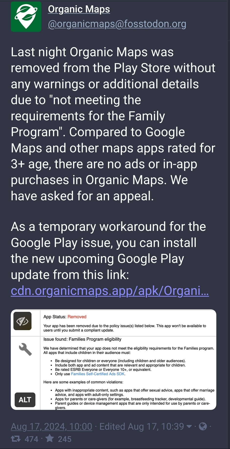
this post was submitted on 17 Aug 2024
717 points (100.0% liked)
Free and Open Source Software
18021 readers
16 users here now
If it's free and open source and it's also software, it can be discussed here. Subcommunity of Technology.
This community's icon was made by Aaron Schneider, under the CC-BY-NC-SA 4.0 license.
founded 2 years ago
MODERATORS
you are viewing a single comment's thread
view the rest of the comments
view the rest of the comments

Lol Google scared
They've just convinced me to try it. It looks surprisingly good. I'd only wish there was a satellite layer. Or is there a way to download it?
Nope, its desgined for offline use, which is just not compatible with huge image files. I dont know what source they would use for sat images, but that would probably complicate things a lot either way. Also if you load sat image tiles from a webserver, then that server/provider will also always know your location.
OsmAnd (another OSM-based app) allows you to set underlay maps from external sources which will be downloaded from those external sources as needed. I do not know if Organic Maps has this feature too but it can clearly be done.
Storage space is not an issue for me and it wouldn't be for others if this was optional. I guess the only problem is, as you say, where to get satellite images for an app that doesn't make money.
I think you underestimate how much storage those tiles take up compared to the vector map data.
Well it depends on the resolution and compression, but storing a city worth of satellite images would probably be in the many GB range.
Just tried it. Compared to OsmAnd it's very easy to use.
But only seems to have vector and offline maps.
Yeaaah I doubt they give a fuck about this. Just an automated system doing automated things.