Amateur Satellites

156 readers
5 users here now

Discussion about amateur reception and processing of data from artificial satellites, primarily through radio signals but data from internet resources is welcome too.

founded 1 year ago
MODERATORS
1


I've been diving into the world of amateur satellites, and the idea of building one is absolutely thrilling! However, like any ambitious project, getting started can feel overwhelming. So, I wanted to gather some collective wisdom from this awesome community.

  1. Choosing Components: What are the must-have components for a basic satellite? Any recommendations on where to source them without breaking the bank?

  2. Learning Resources: What books, online courses, or tutorials have you found invaluable in understanding satellite design and operation?

  3. Software and Simulations: Are there any specific software tools or simulation programs you'd suggest for planning and testing satellite systems?

  4. Launching: What are the best options for getting a small satellite into orbit for amateurs? Has anyone here collaborated with organizations like SpaceX or Rocket Lab?

  5. Success Stories: I'd love to hear about your personal projects! What challenges did you face, and how did you overcome them? Pics and progress updates are always welcome!

Thanks in advance!

2


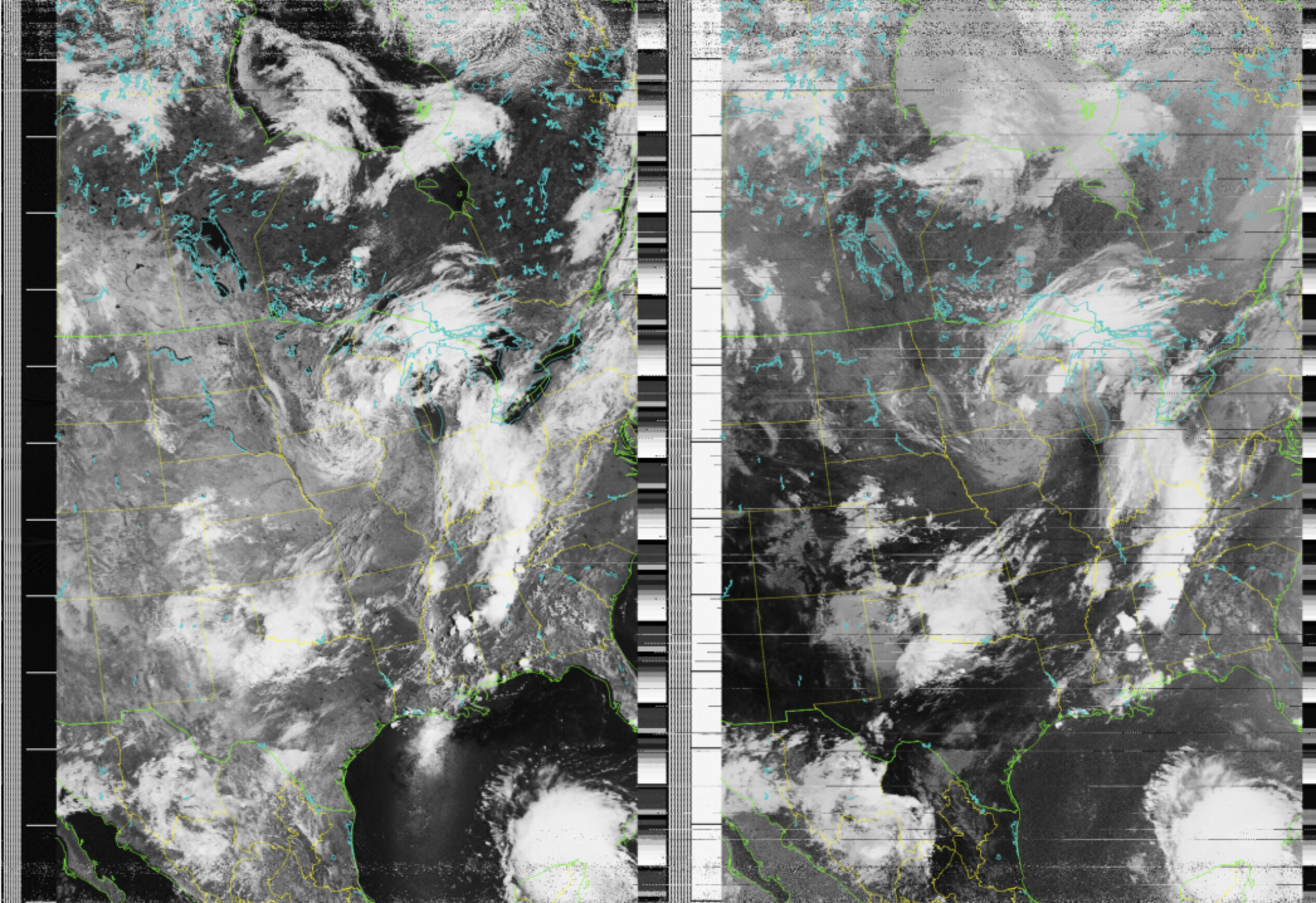
RTLv3 + FM Bandstop + Wideband LNA + Dipole Antenna. One of my best captures yet, I think!

3


Both received and decoded in SatDump on Android.
The 321 composite PNG is 65MB, so I compressed it... and then Imgur compressed it even further so there's some extra compression artifacts, but anyway.

And a note: Look4Sat app seems to have wrong TLE for M No. 2-4. Thankfully there was a similar pass to one shown, just 15 minutes later and more to the west.
TLE on N2YO.com is right.

Edit: Ran the decoder again with baseband. It removed the lines from middle.

4


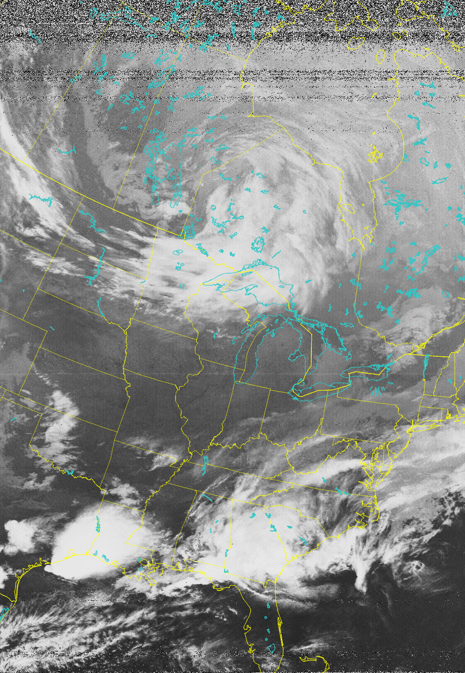
Captured from Poland on April 10th at 17:00 UTC, looks like channel A switched to IR mid scan. The satellite is NOAA-15.

5
 
 
6


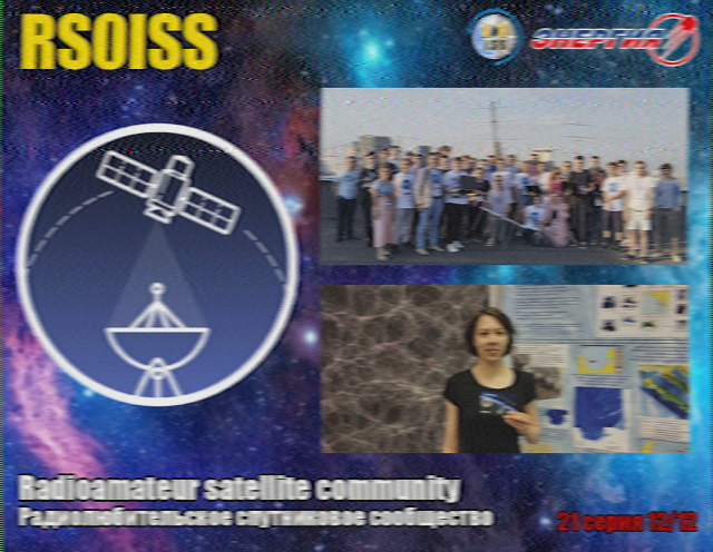
It's transmitting on 145.8MHz FM in the 2m HAM band
times (from amsat-uk):
Fri Oct 27 at 12:15 GMT โ€“ Sun Oct 29 at 18:50 GMT
Tue Oct 31 at 10:05 GMT โ€“ Wed Nov 01 at 18:10 GMT

a couple more:

7


From 2023-10-12
Projected:

Day Microphysics projected:

8


Scan motor current is going up again, maybe it will fix?

9


The telemetry for the NOAA POES satellites is in the TIP data along with the HIRS and SEM data. The content is not known, but the format is.
At least everything on the star nesdis page should be in there, including the AVHRR scan motor current I was looking for.

I wrote a program to dump this telemetry to CSV and found the one column that rose at the same rate as the scan motor should.

It's not a perfect match, NOAA probably multiplies it by some unknown value to find the actual current, and my data is only from when the satellite was overhead, so it's a bit low resolution

official NOAA data:

There are still hundreds of unknown values that I haven't and have no way of figuring out, here is the raw CSV data if anyone is interested: link
It's concatenated from months of data, so it's full of skips, there is a millisecond timestamp on the first column, but it's out a few hours and sometimes corrupted.
Some fields are also super commutated still.

10


Not another one

11


Waterfall:
Click to view image directly

Baseband recording (cut with SDRAngel using FileSink)

When modulated, it looks like Orbcomm mobile telephony, but in that case the data bursts happen more often and there's no visible carrier.
I also didn't find anything corresponding in the Happysat's Deadsat list.

What could it be? Zombie Orbcomm satellite or something else?

12


I wonder what NOAA is doing? They did this on 2023-08-28 too.

13


I made a status page for the 137MHz weather satellites (like happysat's meteor one)
Hopefully this is useful to someone, I think I went overboard on the details but maybe that's helpful

github link
self hosted forgejo link

14


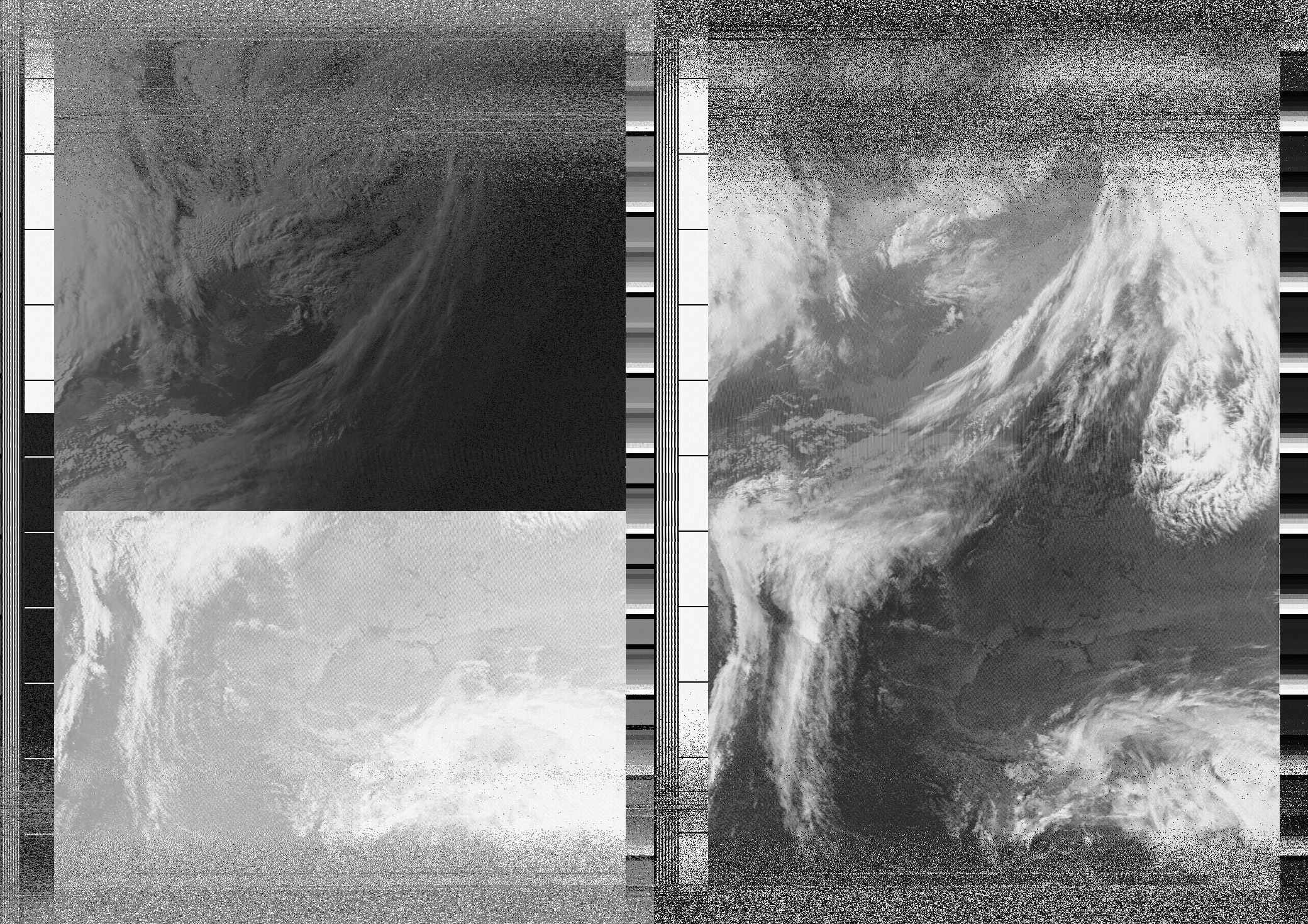
The main image in post was decoded with WXtoIMG as both noaa-apt and SatDump fail to synchronize it correctly.

Unprocessed image from noaa-apt:

Compatibility image link

Waterfall:

Compatibility image link
There you can see some breaks, the noticeable horizontal lines.

Which sounds like so (note: the waterfall shown above isn't from the same time as audio):

Compatibility audio link

And the bonus, DSB images:

Compatibility image link
Channels 1-20 are left-to-right then bottom.

And also AVHRR scan motor current as of today:

Compatibility image link

15


The MIRP seems to be having trouble keeping channels in sync with the broken data, the sync pulses are different sizes on the black and white telemetry bars and breaking the software syncing.
NOAA-APTs attempt at syncing:

16


On the DSB:

I also wanted to record the NOAA-18's direct sounder broadcast at 137.35MHz, but it just suddenly cut off and haven't re-appeared: Direct image link

What's with that?

17


Captured with RTL-SDRv3 and V-Dipole.
Processed in SatDump (Android).